In Cairns we’re blessed with some of the best hikes in the tropics. Surrounded by World Heritage ancient rainforest and the Great Dividing Range, read on for the 5 best Cairns hikes.
1. Behana Gorge Walk
Starting off with a locals favourite, Bahana Gorge is located 33km south from Cairns City. The hilly, sealed track is 3.5km from the carpark to Clamshell Falls (more commonly known as Behana Gorge Waterfall) and is a great way to test your fitness while enjoying Wooroonooran National Park and the rainforest.
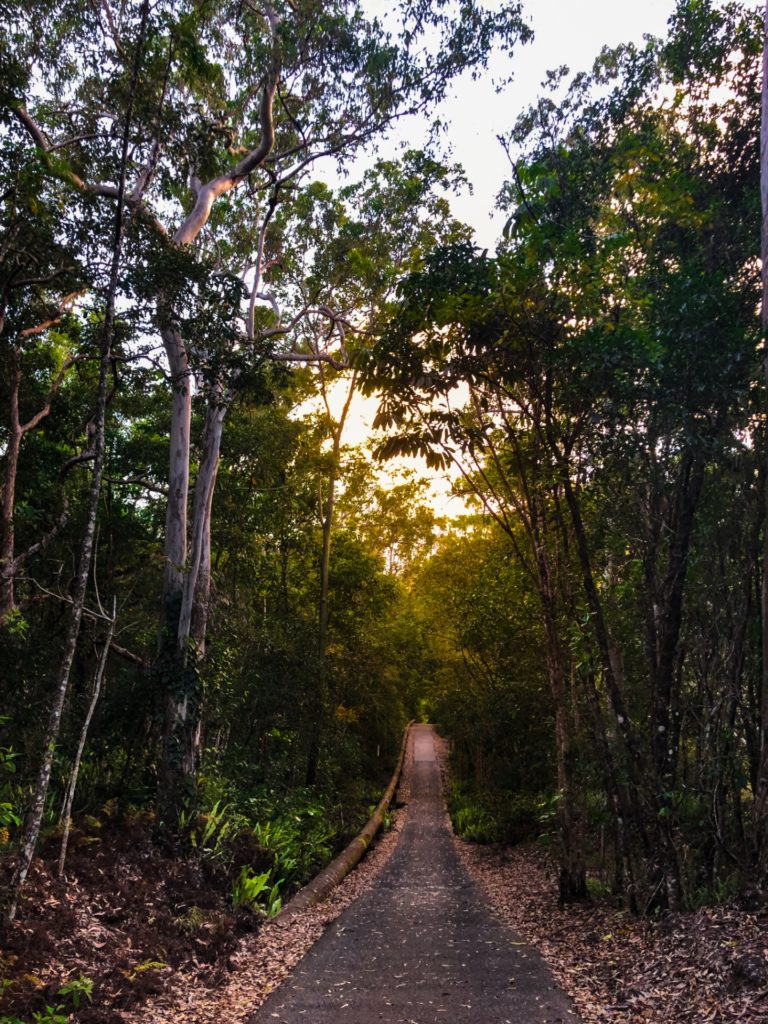
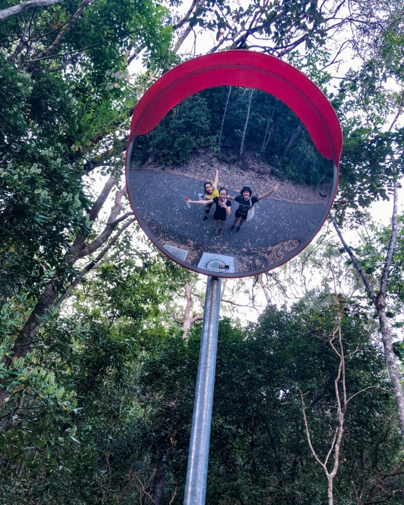
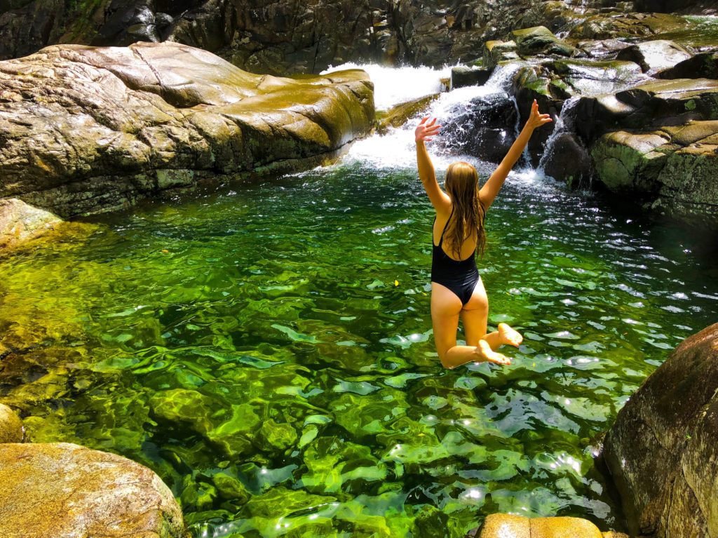
Along the way you can access parts of Behana Gorge and cool off for a swim. The emerald green pools are stunning, even if you just use them as a stop to rest before you continue on to the end.
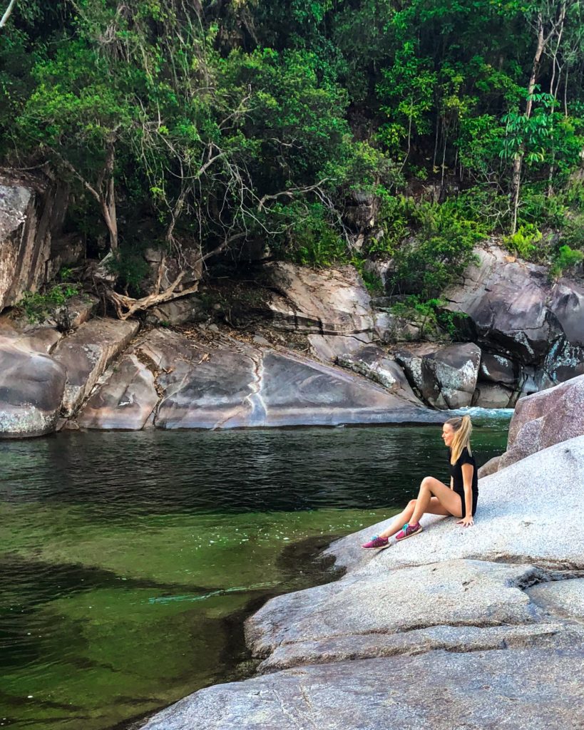
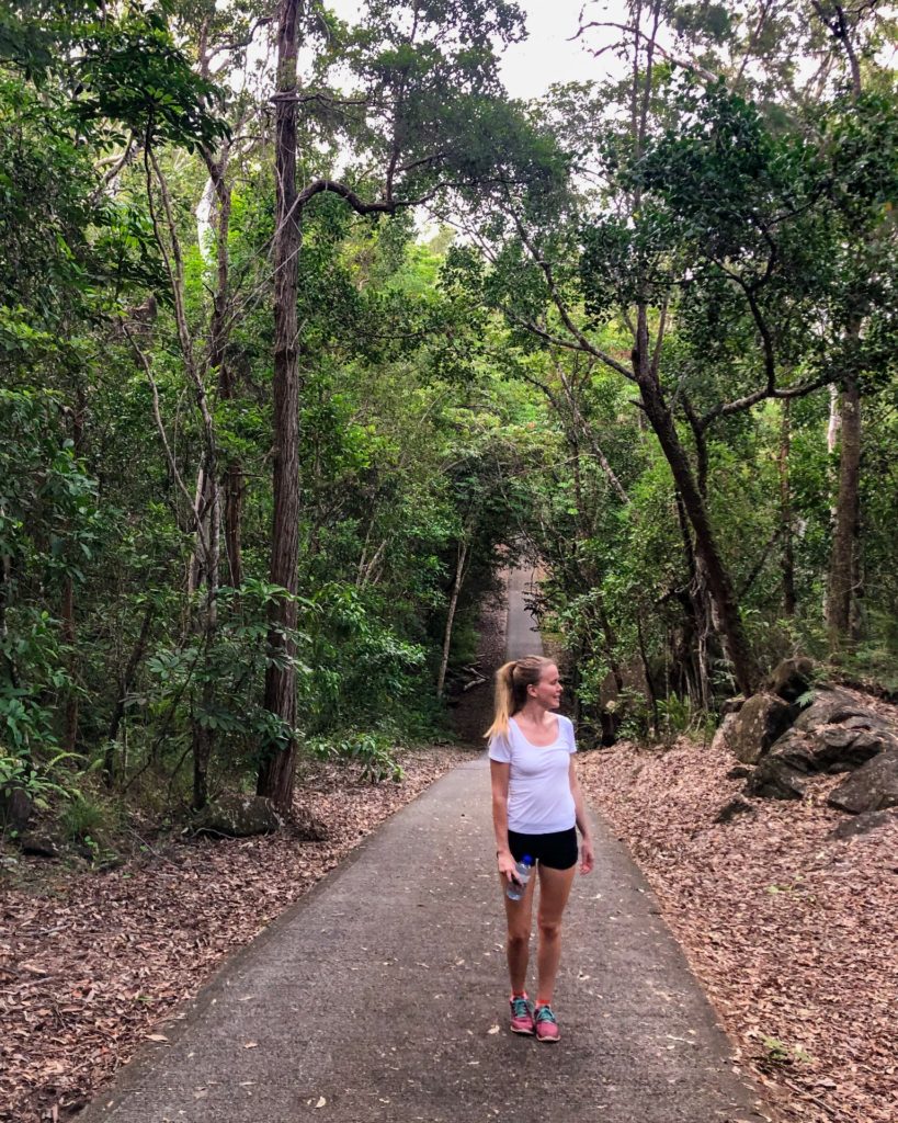
Behana Gorge walk increases in intensity right at the end due to the increased hills. But it makes reaching the waterfall at the end all the more worth it.
You will find a lot of Cairns locals, with many levels of fitness, on this walking track working on their cardio fitness.
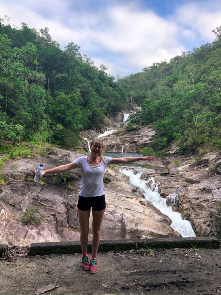
Behana Gorge is a popular swimming spot as well. Click here to read more about the beautiful Behana Gorge.
2. White Rock Peak
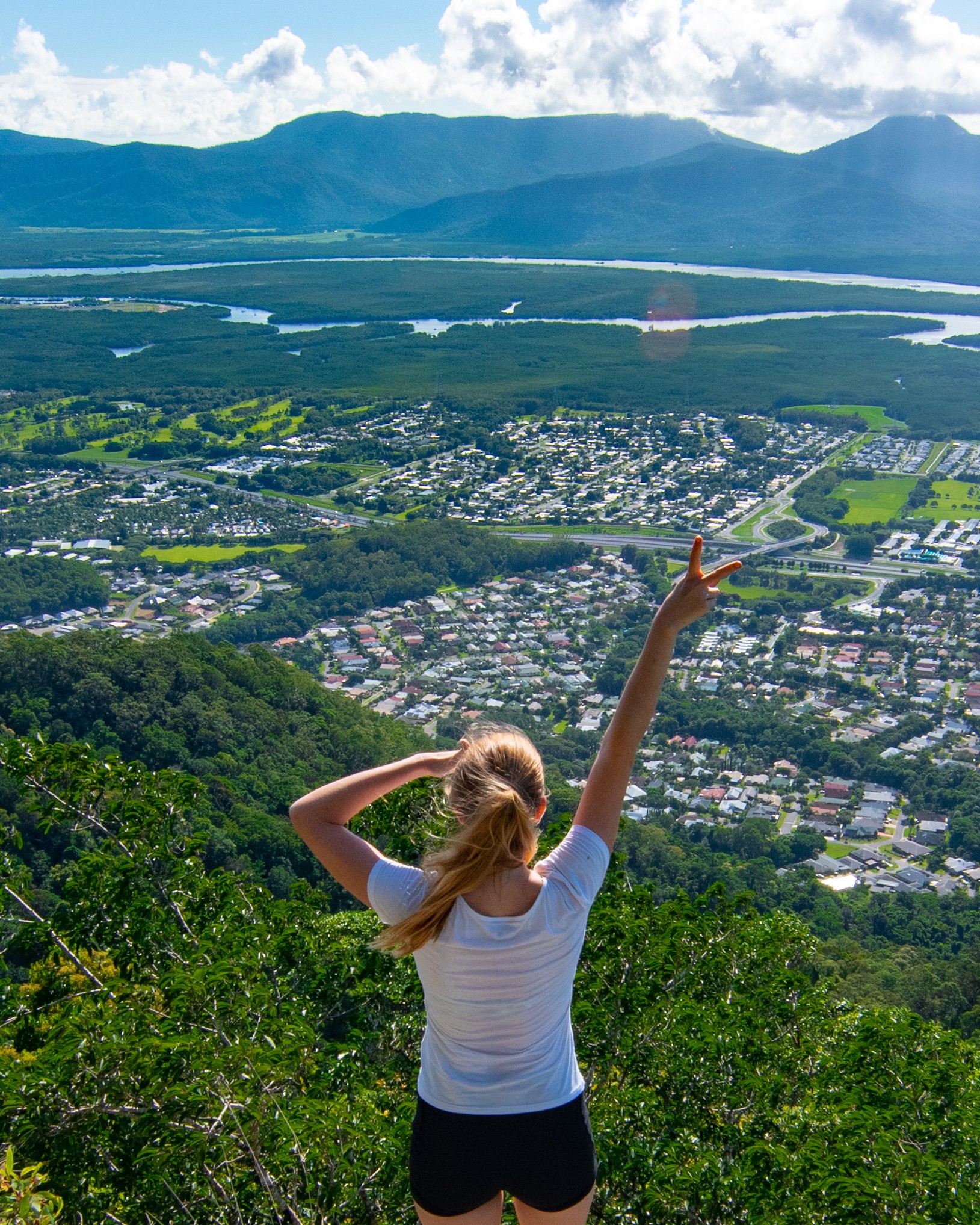
A slightly lesser known Cairns hike is White Rock Peak. This hike begins at Copperlode Dam Road and leads you out to a view across Mt. Sheridan and White Rock suburbs.
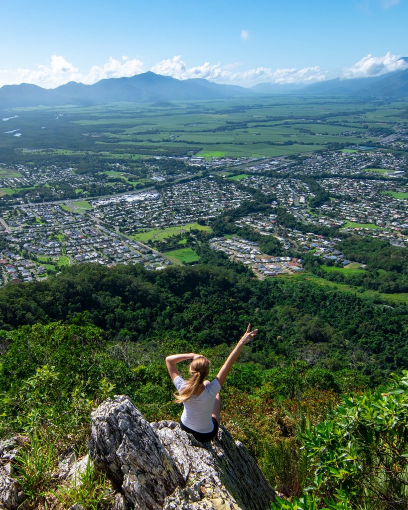
While you make most of the climb in your car as you drive up Copperlode Dam Road to begin the hike, this hike is quite steep at the start before levelling off to a very enjoying walk through the rainforest. Just before you reach the view point, the trail heads steeply down again for a short while before arriving at the outcrop.
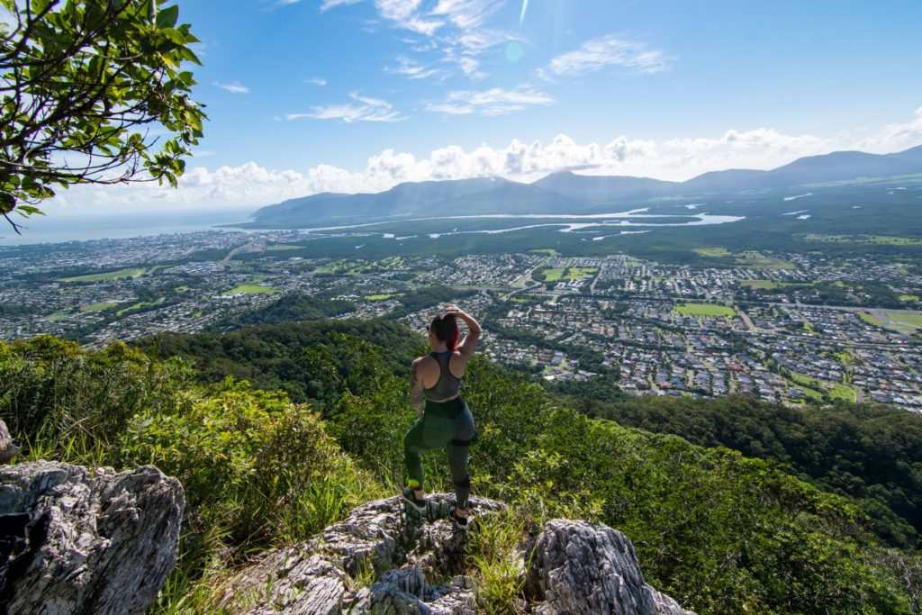
And the view at the end is brilliant, from the ocean and Cairns city, out across suburban Cairns and down to the South past Walsh’s Pyramid.
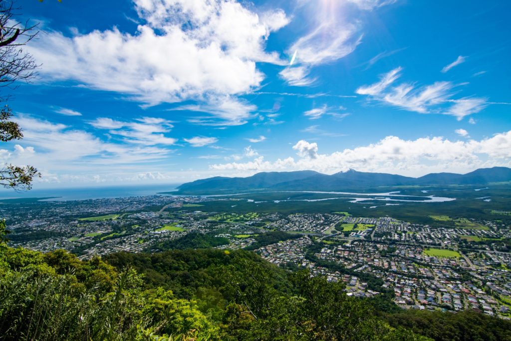
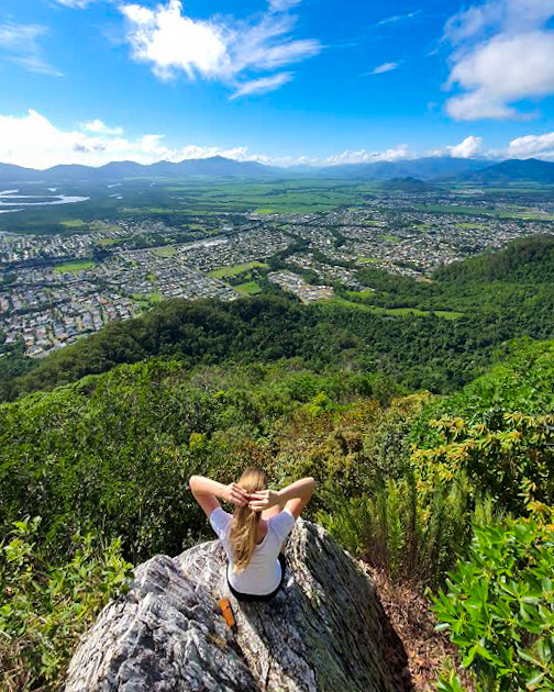
Allow about 1.5 hours – 2 hours return for White Rock Peak.
3. Walsh’s Pyramid aka ‘The Pyramid.’
One of the best Cairns hikes.
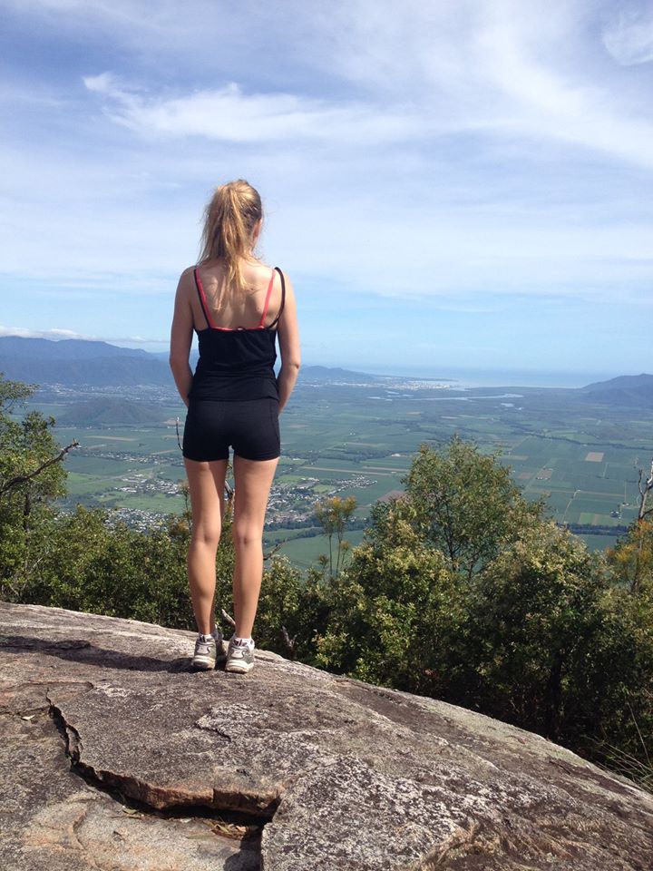
Located south of Cairns, near Behana Gorge in Gordonvale, and 922 high, The Pyramid is one of the best hikes in Cairns.
The tallest ‘natural free standing Pyramid in the world,’ I have only climbed The Pyramid once, back in 2015. Although it’s on the list to climb again soon. One of the most challenging hikes I’ve done but also easily the most rewarding by far.
We did this in January, and although we started at about 630am, it was very, very hot and I recommend leaving the hike until Cairns winter time between June – August for a more enjoyable experience.
My friend, Chloe, and I, were both very fit at the time but it took us about 2.5 hours to reach the top and 1.5 hours to come back down. Definitely not breaking any time records, but we stopped a lot due to the heat and for photo breaks. Remember to bring lots of water.
Coming back down was a lot more of a strain on our legs than going up. Once we got back down I spent the rest of the day relaxing on the couch (well deserved haha!)
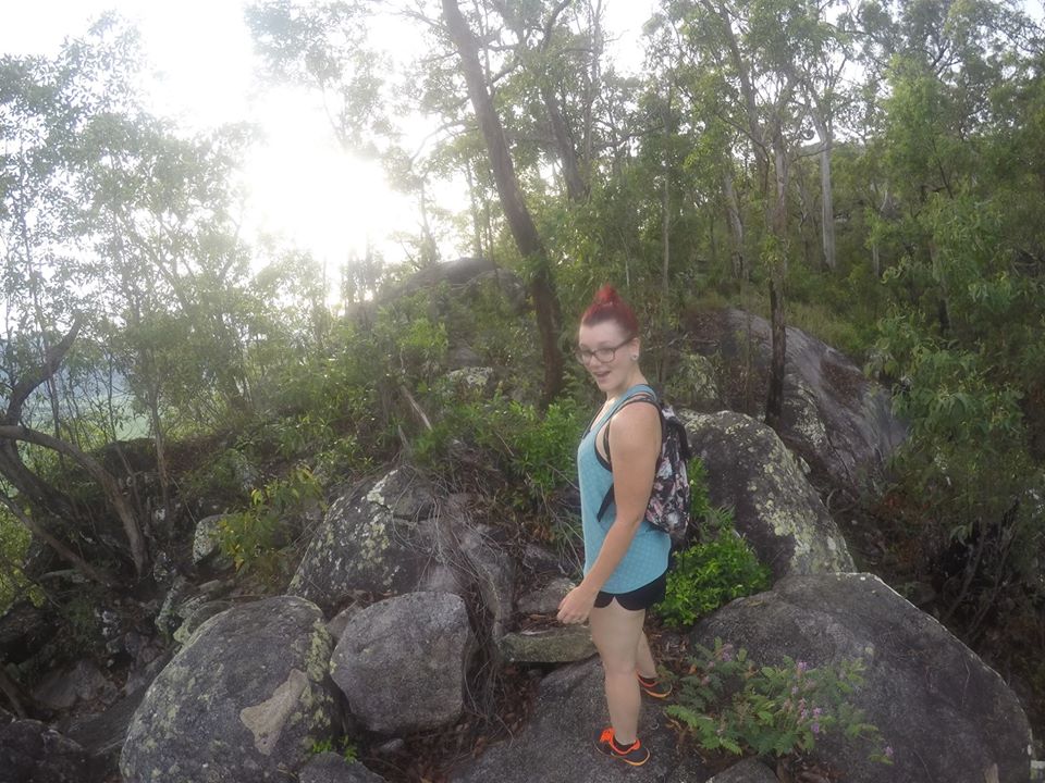
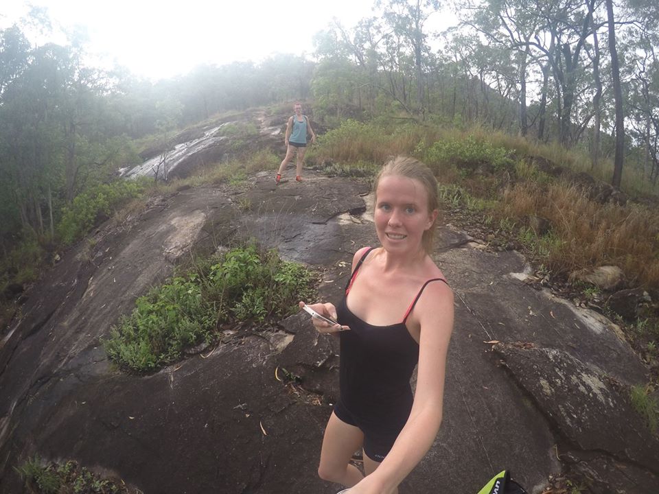
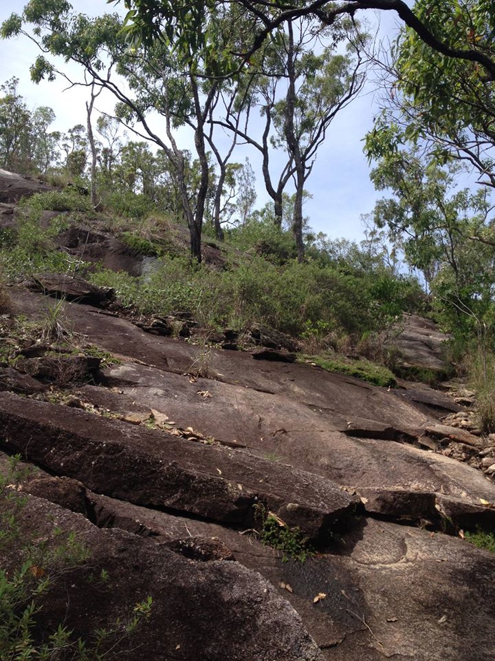
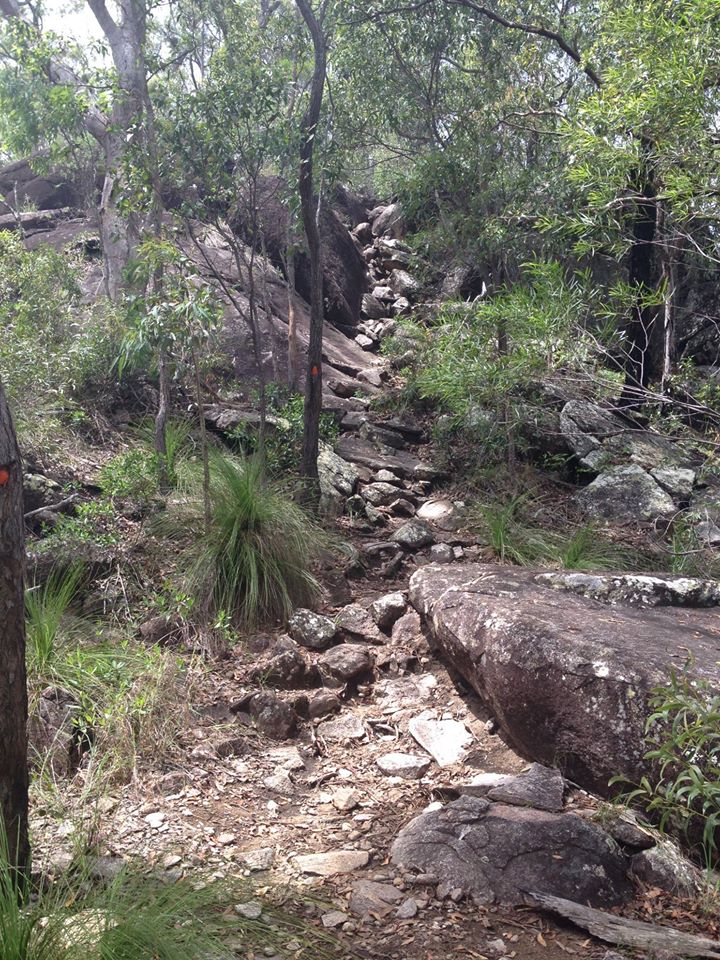
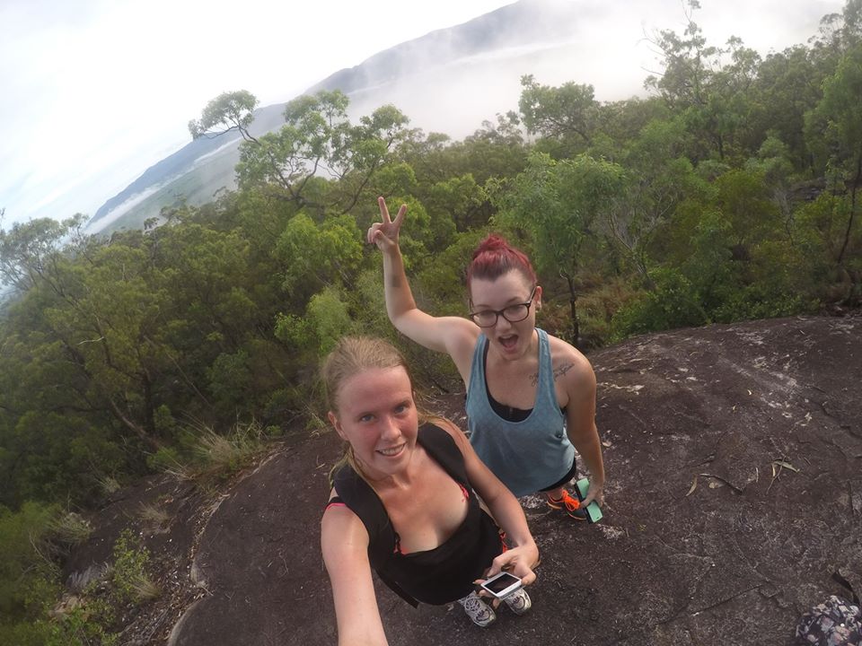
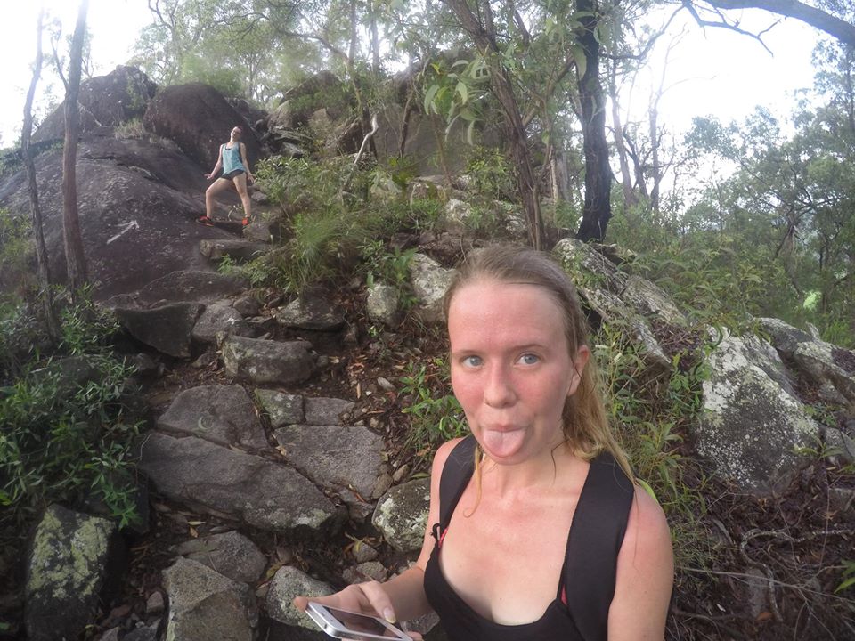
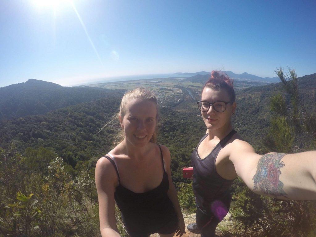
And then we made it to the top!
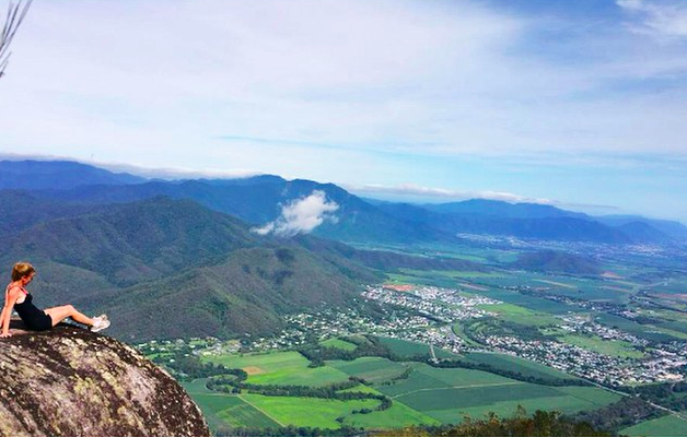
For those eager, you can sign up for The Great Pyramid Race in August each year.
4. Nandroya Falls
About a 90 minute drive outside of Cairns, Nandroya Falls is one of the prettiest waterfalls (I would argue) in Cairns.
Set your GPS to ‘Henrietta Creek Camp Grounds’ on Palmerston Highway, where you can park and follow signs to Nandroya Falls. The hike forks shortly in where you can choose from the shorter or longer hike. The shorter hike is about 1.5km and goes past Silver Falls or the longer is about 3.5km.
Located in Wooroonooran National Park, the hike is another example of the stunning natural beauty we are so lucky to have in Cairns. And at the end of your hike, you have this incredible waterfall to enjoy.
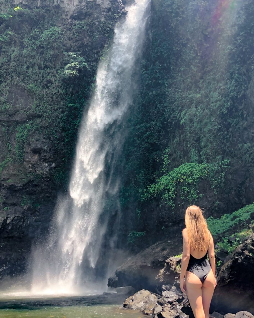
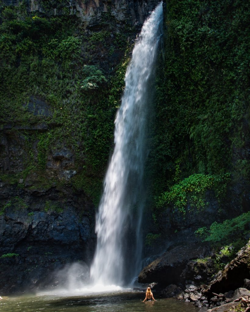
If you want to find more waterfalls in Cairns, check out The Best Cairns Waterfalls.
5. Glacier Rock, Douglas Track from Stoney Creek
This list would not be complete without mentioning the ever popular Glacier Rock.
Suggested read: How to get to Glacier Rock: The Ultimate Guide
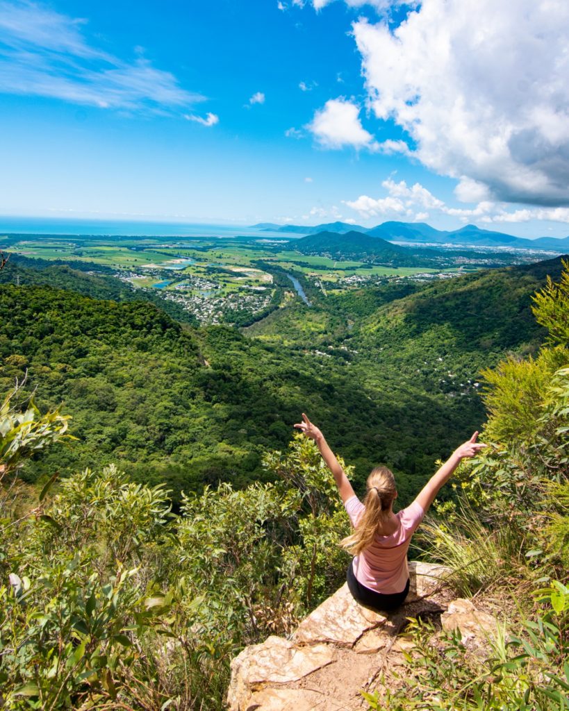
I, like most of Cairns, have done this walk numerous times. Located only 15 minutes outside of the Cairns CBD, this is an easy and enjoyable bush walk. Leave approximately 2-3 hours for a return trip including stops along the way and time to admire the view across Barron River and out to the Coral Sea at the top.
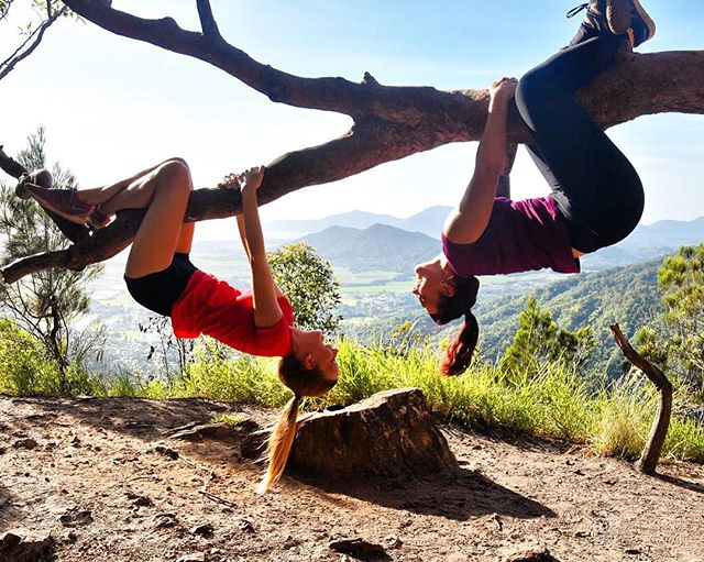
You can park at either Stoney Creek or turn right at the roundabout just before the carpark and park on Douglas Track road. If you begin at Stoney Creek, you will add at least 10 minutes each way to your walk, but you can enjoy a refreshing swim at the end of your hike!
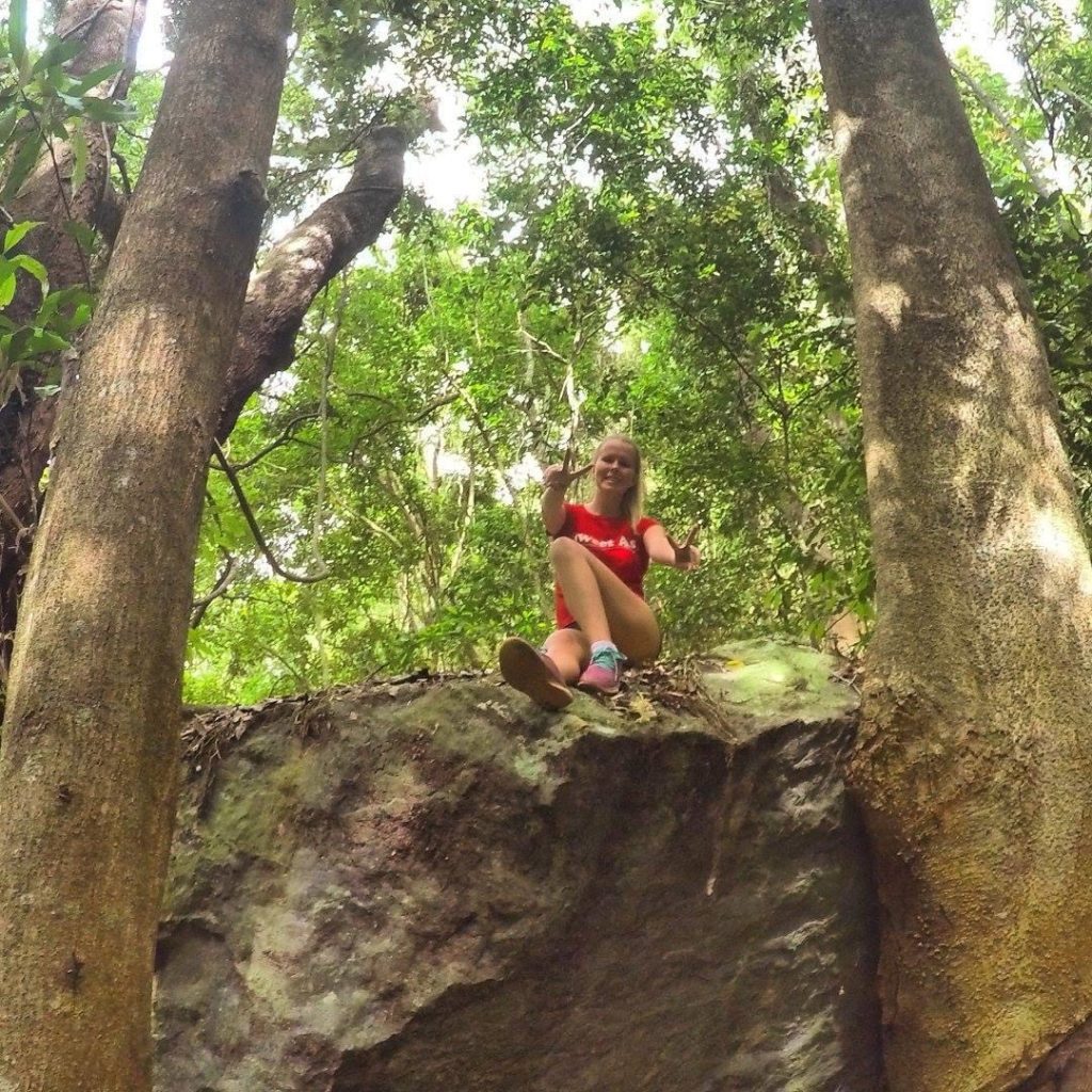
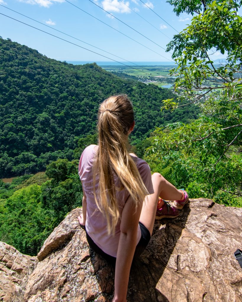
If you climb up the rocks near the Mango Tree (about a third of the way up before the train line) you can enjoy a sneak preview of the view across Barron Gorge National Park and out to Green Island in the Coral Sea.
If you time your hike right as well you will also see the Kuranda Scenic Railway from the footbridge above the tracks.
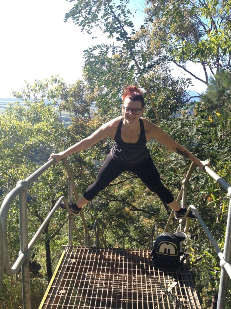
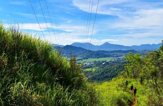
And the top!
In addition to these favourites of mine, there are even more great hikes in Cairns. Once you’ve experienced the ones included here, why not check out the impressive Windin Falls on the Atherton Tablelands, Mount Bartle Frere (the highest mountain in Queensland!) in the south of Cairns, Earl Hill Summit Walking Track in the Northern Beaches and the Arrows (Red, Yellow, Green and Blue) in Edge Hill.
Happy hiking!

